Turn the field data you already have, elevation, imagery, and yield, into variable rate prescriptions and drainage plans your equipment can run, so every acre gets the right rate and every field drains the way you want.
Don't know where to start?
Tell us about your operation and we'll point you to the right place.
Article By Jodi Boe GK Technology, Inc. is excited to share that we have gained access to the 2021 lidar data for the Red River Valley region of Minnesota. We understand how important it is to have access to the most up-to-date lidar data for building surface drainage...
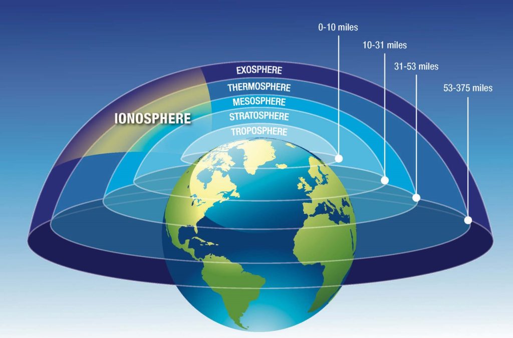
Article By Jodi Boe Farmers hoping to take advantage of a dry weekend for planting were met with a frustrating surprise: inoperable GPS guidance systems. The culprit? Powerful solar flares erupting from the sun. Our sun goes through an 11-year cycle of activity, with...
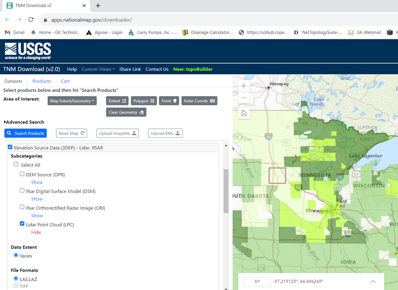
Downloading Data from USGS and EE Article By Kelly Sharpe Time for a little data update and primary reason for this article. For those who have been downloading data from the USGS (United States Geological Survey) EE (Earth Explorer) website, you have noticed in the...
Article By Kelly Sharpe Thanks to all who took in the GK 2023 ADMS training. Hope you all found something worthwhile in the classes. We were listening to you as we put on the classes and have added some new items and came across some new data. Items to know about: The...
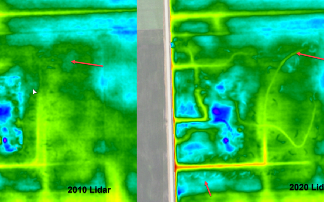
Article By Kelly Sharpe LiDAR is aerial collected elevation data we have used in Ag Data Mapping Solution (ADMS) for roughly 12 to 13 years. When the first LiDAR LAS/LAZ files were made available for the Red River Valley, Darin jumped on how to use them and process...
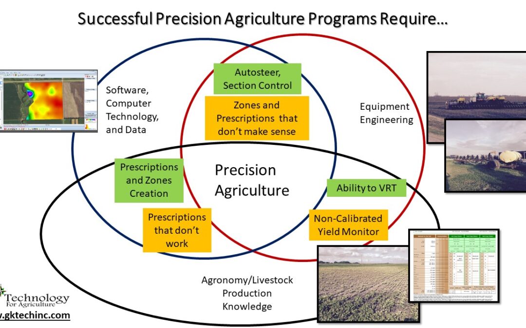
Article By Sarah Lovas Precision agriculture is managing crop inputs from a site-specific standpoint to increase profits, reduce waste, and improve the quality of the crop. Precision agriculture is the idea of putting the right number of inputs in the right place in...