Turn the field data you already have, elevation, imagery, and yield, into variable rate prescriptions and drainage plans your equipment can run, so every acre gets the right rate and every field drains the way you want.
Don't know where to start?
Tell us about your operation and we'll point you to the right place.
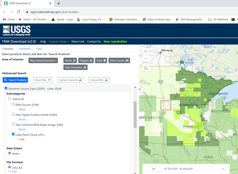
Downloading Data from USGS and EE Article By Kelly Sharpe Time for a little data update and primary reason for this article. For those who have been downloading data from the USGS (United States Geological Survey) EE (Earth Explorer) website, you have noticed in the...
Article By Kelly Sharpe Thanks to all who took in the GK 2023 ADMS training. Hope you all found something worthwhile in the classes. We were listening to you as we put on the classes and have added some new items and came across some new data. Items to know about: The...
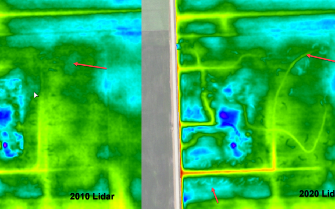
Article By Kelly Sharpe LiDAR is aerial collected elevation data we have used in Ag Data Mapping Solution (ADMS) for roughly 12 to 13 years. When the first LiDAR LAS/LAZ files were made available for the Red River Valley, Darin jumped on how to use them and process...
We are reaching out to let you know some new and exciting news from GK Technology (GK) and KB Manufacturing (KB). For the last two years we have been working on a method to communicate with the John Deere Yield Documentation, Specialty Crop – 1120 Application...
Due to recent attempts by the USGS to update their Bulk Downloading Application there has been a significant delay in our capability to keep our Online Library up to date with Sentinel and Landsat imagery. While we are waiting for more current images to become...