Turn the field data you already have, elevation, imagery, and yield, into variable rate prescriptions and drainage plans your equipment can run, so every acre gets the right rate and every field drains the way you want.
Don't know where to start?
Tell us about your operation and we'll point you to the right place.
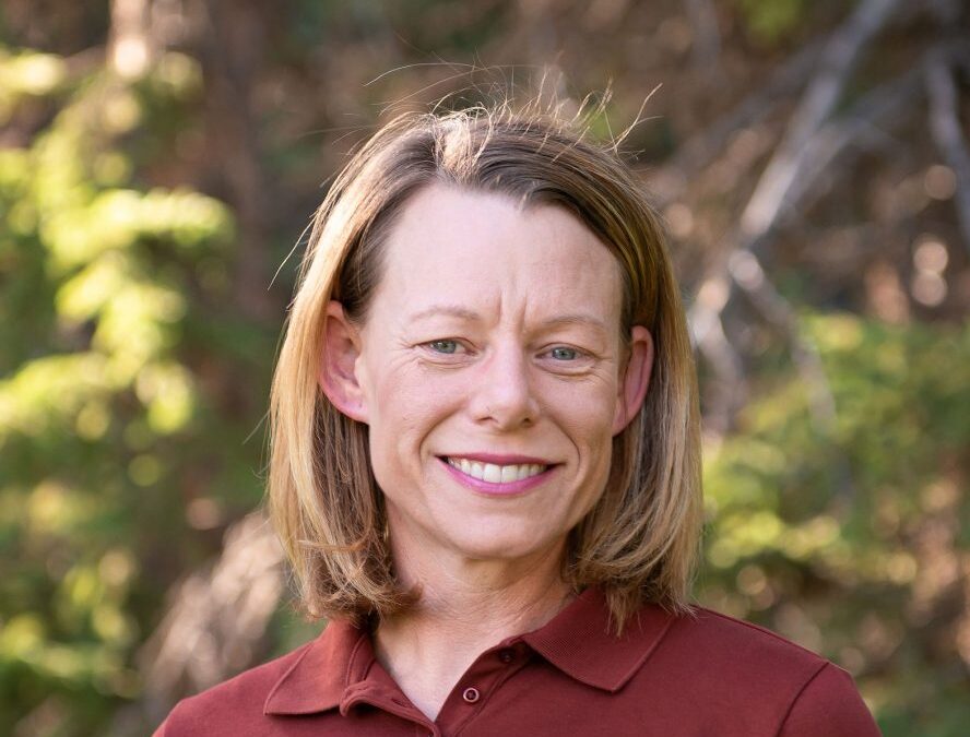
Welcome to a new team member Welcome Sarah! First, GK would like to welcome Sarah Lovas to the GK Technology team. Sarah is a highly regarded agronomist based out of the Hillsboro, ND, area. She will be taking over much of the Agronomy, Mapping, Sales and Support for...
2018 National Agriculture Imagery Program (NAIP) imagery is starting to appear on the USDA GeoSaptial site. We suggest that you get on to the site and get it downloaded. https://gktechinc.mwddigitalsolutions.com/data-links/ – click on the...